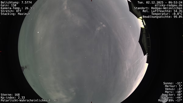
 I wanted to add additional information to my all-sky images: Aircraft data directly in the image, including callsign, altitude and direction. Since I didn’t want to run my own ADS-B setup, I used the Open Data API from adsb.fi and built a solution that works with indi-allsky.
With the following instructions, you can use adsb.fi to receive up-to-date information on aircraft around the location of your Allsky camera every minute and have it displayed directly on the Allsky photo.

 If you run an indi-allsky installation on a Raspberry Pi and want to make it publicly accessible via your own domain, you will quickly encounter two typical challenges: